Davey really likes maps. When we go to the zoo, he likes the animals, but he really prefers to look at the zoo map. Before we moved to Ellensburg, David picked him up a fun map of the town, and he loved studying it until we moved here. It’s now hanging on his wall.
So I thought he might enjoying making a topographic map. I’d been searching for map activities on pinterest, and I came across a website with a recipe for salt dough and some guidelines for making a 3d map. This included a link to yourchildlearns.com. This is a cool website where you can print out maps in any size you want using 8.5 x 11 paper, and then you can tape them together to create your map.
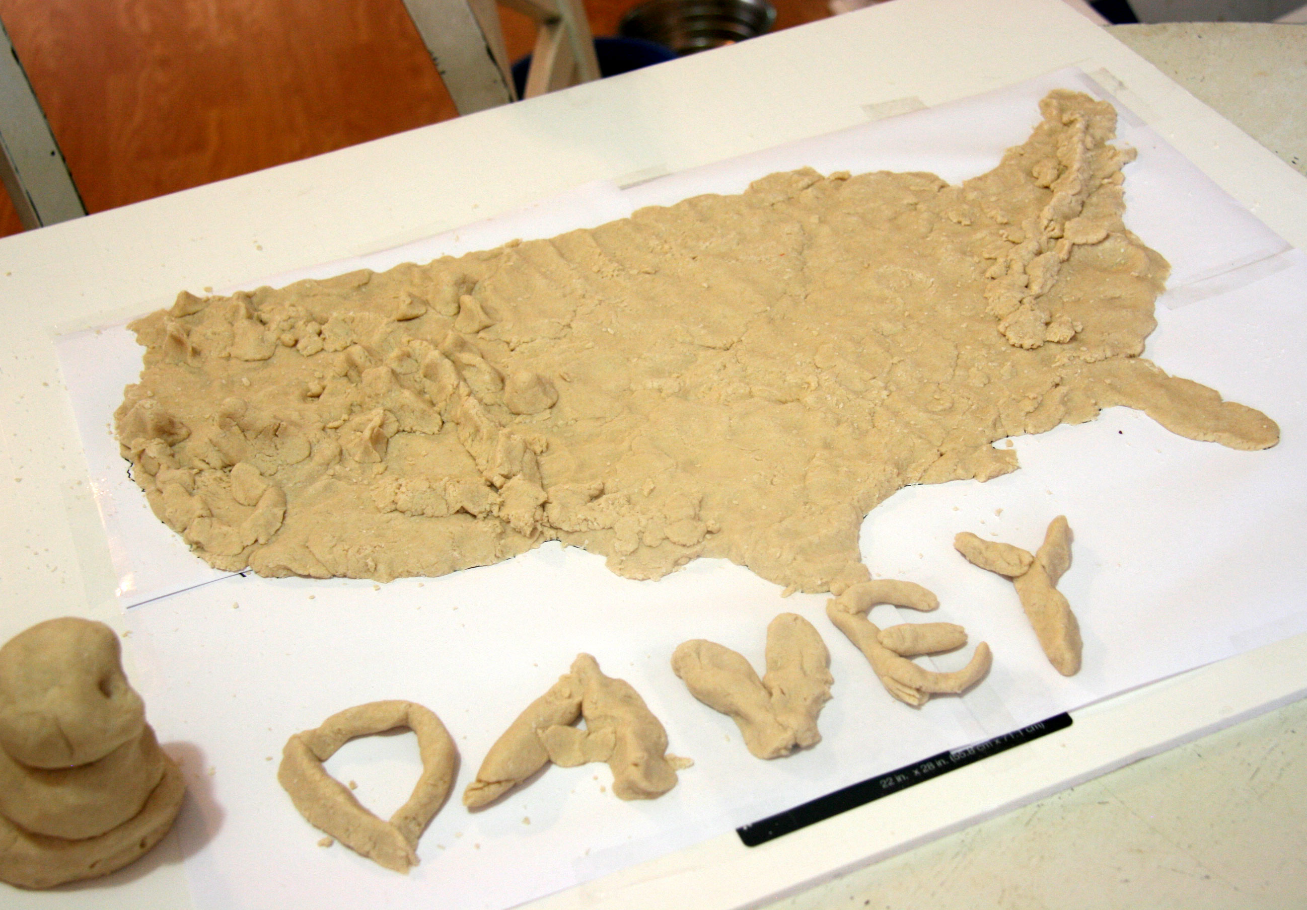
I printed out a USA map, taped it down to some posterboard, and we mixed up the dough. Then we started forming our map by following the outline of the taped down map.

Davey had great fun making the mountains. He got very tickled. Let’s just say they are Davey mountains and not necessarily topographically accurate.

He identified the following mountain as Mt. Shasta (in Northern California). It’s a little massive.

He ended up decreasing Mt Shasta’s size as we decided it would probably break when it dried.
Next we had to let the map dry so we could paint it. I am glad I got a picture of Davey’s sculpted letters as they fell apart when they dried!
We kept it pretty simple when we painted it and limited our colors to blue, green and brown. Davey was once again in charge of the mountains.
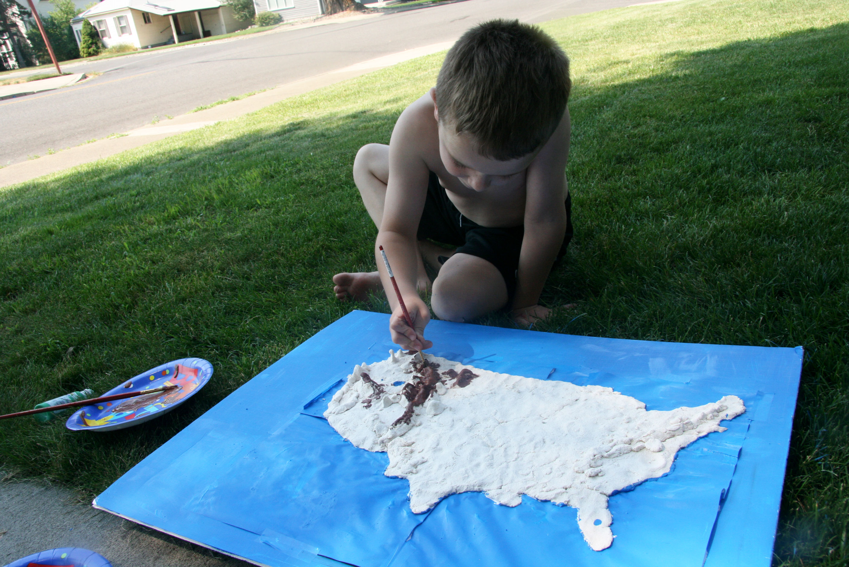
He strategically left parts of the mountains white for the snow. He had fun painting. So much so that he enthusiastically got a lot of paint all over him (thankfully, I’d had the sense to take off his shirt and have him put on old shorts before he started). I tried to get pictures of him with the paint all over him, but he was being resistant.

Our USA is very green. My Great Lakes are very small (I am missing a couple as well), and the Salt Lake may be overly large. It was still great for helping Davey learn more about the US. He identified where we live. He pointed clear across the country to his Oma and Opa’s, and he found the almost center where his Nanny and Pa are.

Now we need to decide what country to try next!

I really like the creative things Davey is enjoying. Great job on the map & the sidewalk painting is cool!
Hey, I see the mountains where I grew up! Good job, Davey!